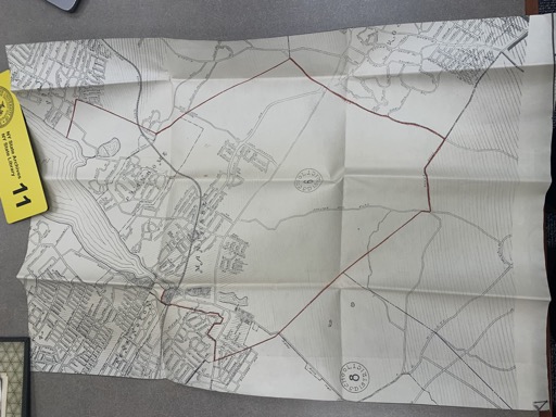
Area map with highlighted boundary
Source Images
Transcription
[stamp: NY State Archives, NY State Library, 11]
The document appears to be a map related to the New York State Common School system, likely from the 1800s-1900s. The map shows a detailed layout of a district, with various sections delineated by lines and labeled with numbers and text. Here is the transcription of the visible text and features:
``` [illegible]